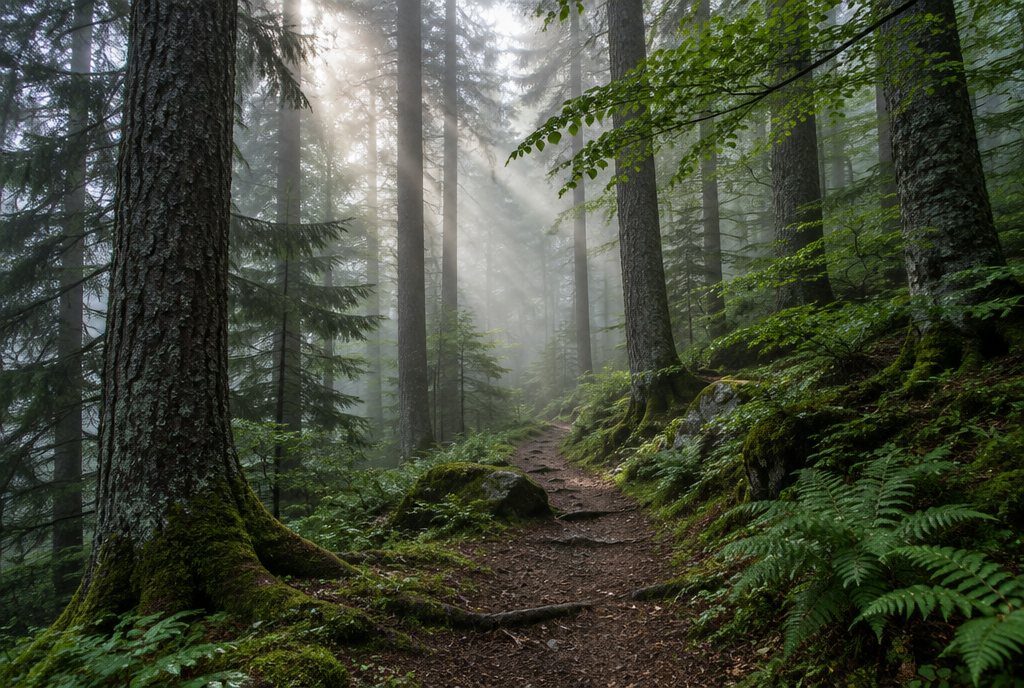
 Club event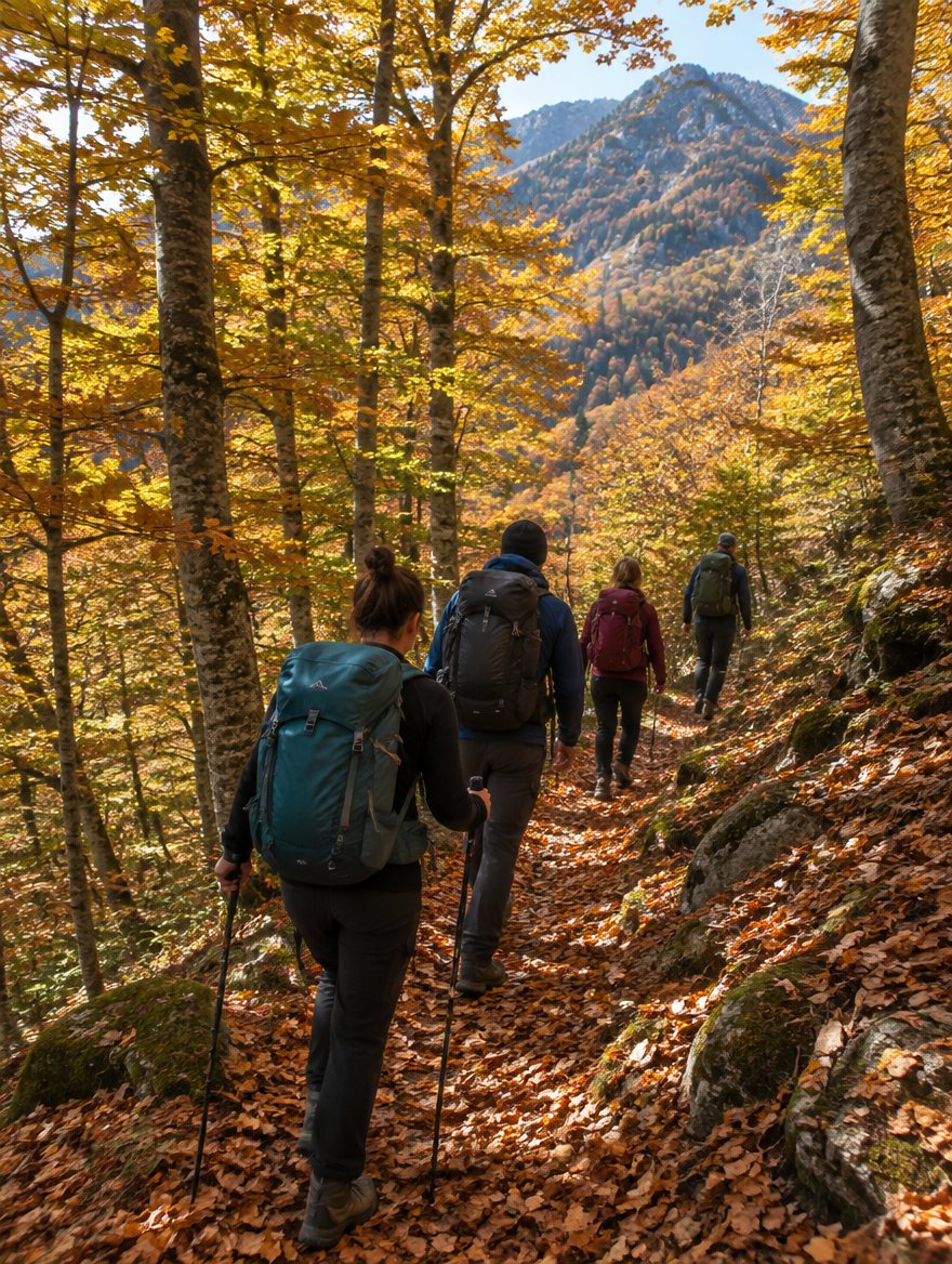
A path worth taking · Kosovo
Sharr ridge traverse
Walk the long line of the Sharr mountains, with a hut at the end of each day.
Distance38 km
Ascent+1,600 m
Duration3 days
DifficultyDemanding
RegionSharri
Route dataIllustrative
More than a line on a map
Take the long way.
There are places you can only understand on foot. Follow the landscape, find your rhythm, and leave room for the unexpected.
This sample itinerary brings together the landscapes and spirit of Sharri. Explore the route preview below, see what to bring, and try planning a day with your people.
Route distances, elevation profiles, departure dates, and prices are illustrative. This preview is not a verified trail guide or navigation tool.
A different perspective
Trace the day.
SharriIllustrative · not for navigation
The trailhead0%
Elevation profile
Illustrative profile0 km · StartThe ridge38 km · Finish
Along the way
Small moments.
Wide horizons.
01
Leave the valley behind
A quiet start, a slower pace, and the first glimpse of the mountains ahead.
02
Find the open sky
Take a moment on the ridge. The best part of a mountain day is often the pause.
03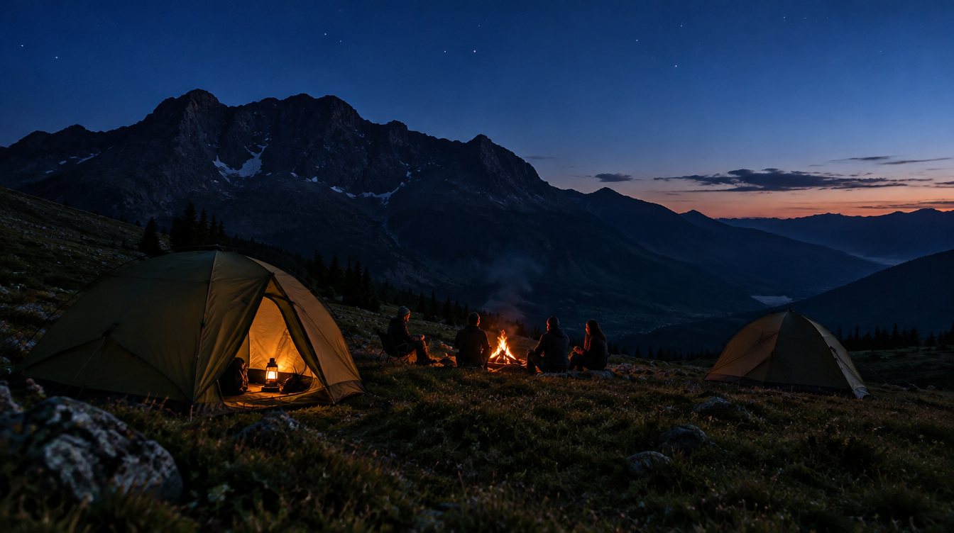
Return with a story
A shared table, a warm drink, and a little mountain air to take home.
Leave prepared. Come back well.
The mountain sets the pace.
Conditions change quickly at altitude. A real departure needs a verified route, a current local forecast, suitable equipment, and a guide's assessment. Live conditions are not connected in this preview.
Stay a little longer
Another path awaits.
All adventures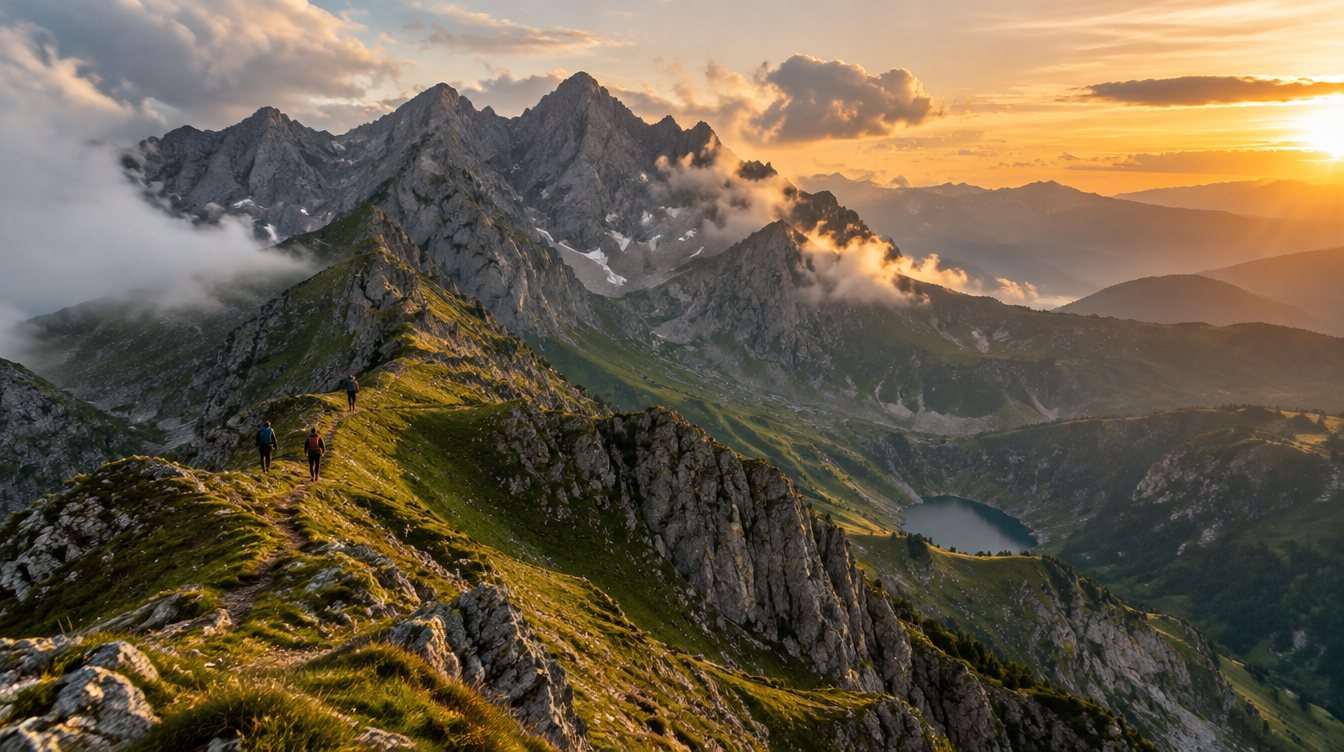
€120Sample price / person
Explore booking